BRIDGING MILITARY AND RECREATIONAL BEST PRACTICES IN THE
MOUNTAINS
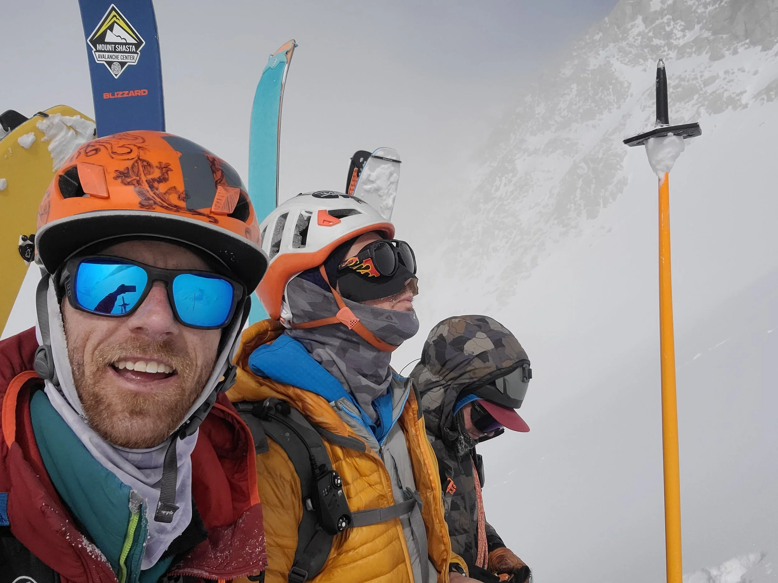
Community and Mentorship - Meetups, Partner Finder and 10th Mountain Foundation funded mentorship events.

Conversations with leaders, mountain professionals and athletes who live at the intersection of endurance, risk, and leadership in the mountains.

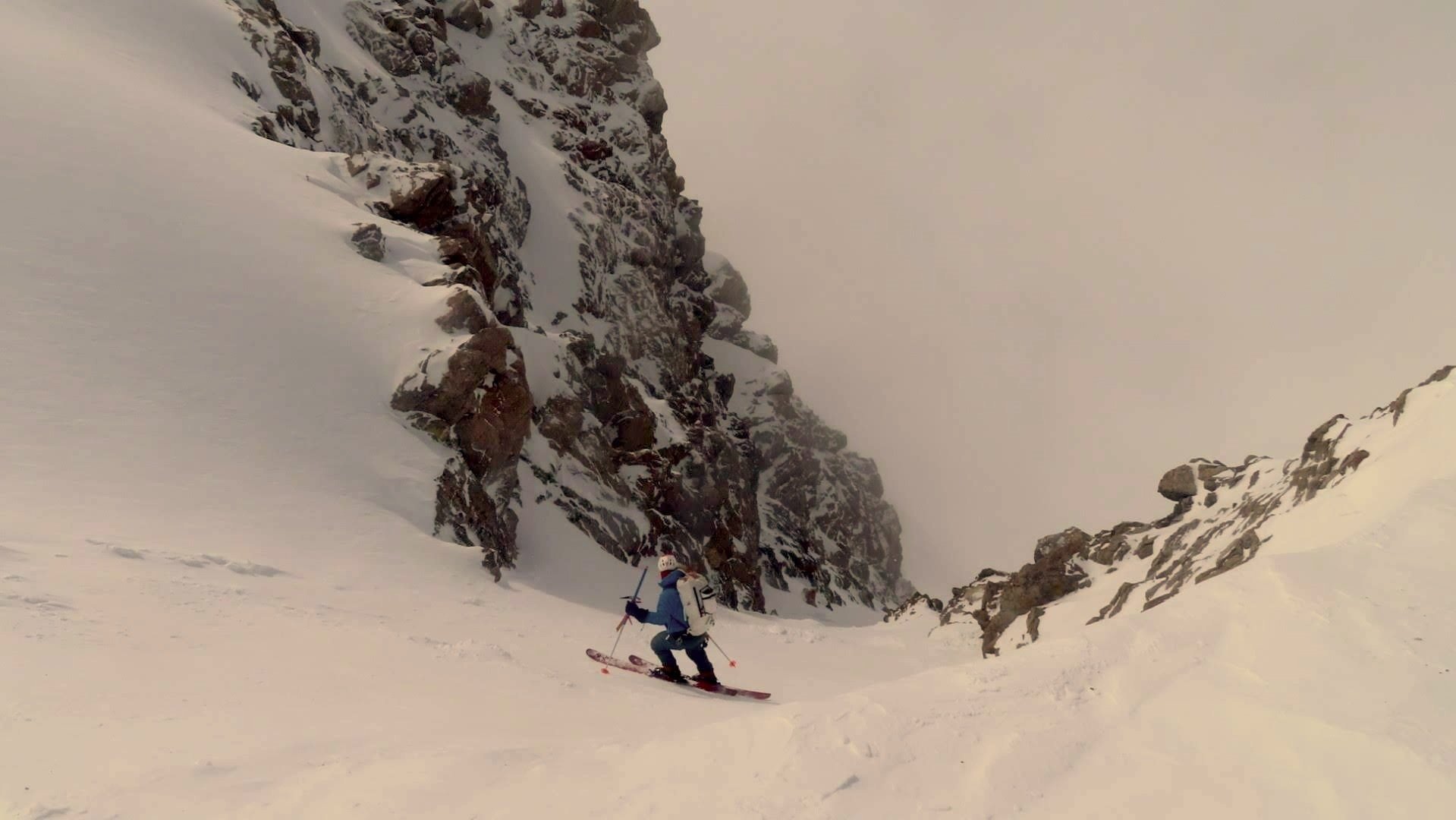
LEARN - Develop judgment before you deploy to the field.
About Mauri DiMeo
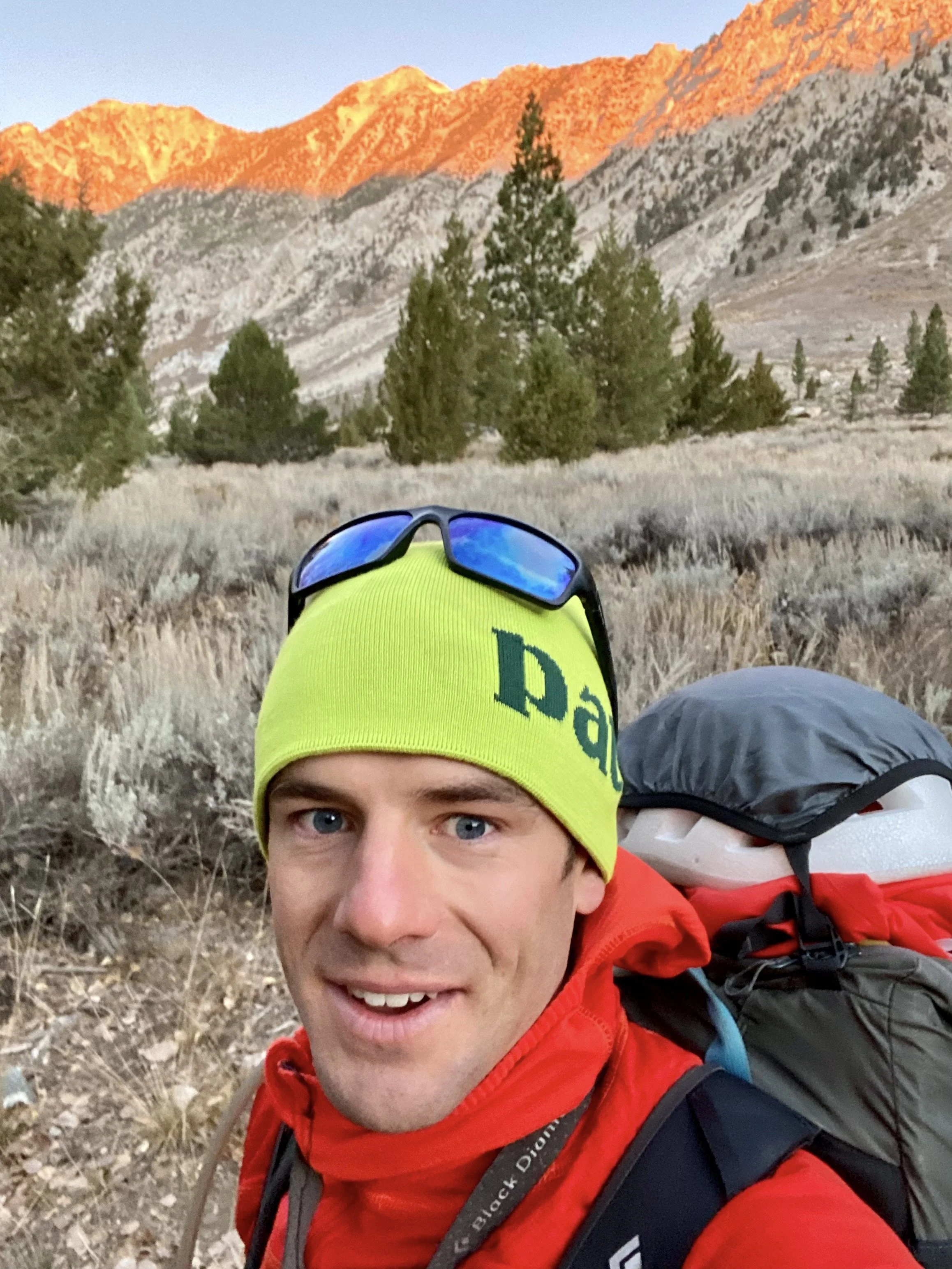
10th Mountain Division Army veteran, AMGA Ski Guide, and endurance physiologist.
Mauri founded Tactical Alpinism to bridge the gap between tactical operations and mountain recreation — creating a framework that builds capable, and reliable mountain athletes with an expanded margin of safety based in skill.